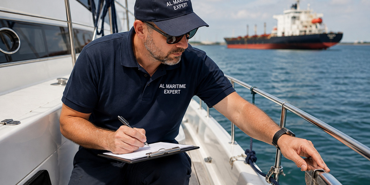

When a boating incident occurs, determining what happened often requires more than witness accounts or a visual inspection of the vessel. Navigation data can help investigators understand a vessel’s movement before, during, and after an event. Information about position, speed, heading, and timing may provide important context when examining a collision, grounding, loss of control, or unexpected change in course.
Modern vessels may use several electronic systems to support navigation and record operational information. Depending on the equipment installed, these sources can include GPS units, chartplotters, radar, Automatic Identification System (AIS) records, electronic chart systems, and voyage data recorders on applicable vessels. Each source has its own capabilities and limitations, so investigators must evaluate the available information carefully.
What Navigation Data Can Reveal
Navigation data can help establish where a vessel was operating, how it was moving, and whether its recorded movements changed before an incident. Position information may indicate the vessel’s approximate track, while speed and heading data can help explain its approach to another vessel, a shoreline, or a navigational hazard.
The usefulness of these details depends on the equipment, recording intervals, accuracy, and condition of the available data. Some systems store historical tracks, while others retain only limited information or require manual exports. Investigators should identify the source of each record and determine whether it covers the relevant period.
Reviewing navigation records alongside physical evidence and witness accounts can help investigators compare different explanations of an incident. These records may support a timeline, identify gaps in the available information, or show that a reported movement needs further examination. They should not be treated as conclusive proof without considering the circumstances and reliability of the source.
Understanding GPS Tracks and Position History
GPS equipment calculates a vessel’s position using satellite signals. When a device records successive positions, those points can form a track showing the vessel’s movement over time. Depending on the system, the record may also include speed, course over ground, timestamps, and other navigation details.
A recorded track can help investigators examine whether a vessel approached a shallow area, changed direction, moved toward another vessel, or deviated from its expected route. Position history may also help establish the approximate location of an incident when combined with other reliable information.
However, a GPS track does not necessarily reveal every maneuver. Recording intervals may be too widely spaced to capture a brief turn or sudden change in movement. Signal quality, device settings, antenna placement, and timestamp differences may also affect interpretation. Investigators should avoid drawing precise conclusions from data that cannot support that level of accuracy.
It is also important to distinguish course over ground from heading. Course over ground describes the direction in which a vessel moves across the earth, while heading describes the direction its bow points. Wind and current can cause these values to differ, particularly at low speeds or during certain maneuvers.
The Role of AIS and Other Electronic Systems
The Automatic Identification System transmits information about participating vessels, helping nearby vessels and shore-based systems monitor maritime traffic. Depending on the equipment and data source, AIS messages may include vessel identity, position, speed over ground, course over ground, heading, and navigational status.
In a collision investigation, AIS information may help compare the movements of two vessels and establish their approximate positions over time. Investigators can examine whether their tracks converged, how their reported speeds changed, and what other records indicate about their movements before contact.
AIS data has important limitations. Not every vessel is required to carry AIS, not every vessel transmits all available information, and some data may be missing or delayed. Position and heading information can also differ in quality depending on the equipment and its configuration. AIS alone generally cannot establish exactly what a person saw, intended, or did on the bridge.
Radar, electronic chart systems, onboard cameras, and voyage data recorders may provide additional context where available. A voyage data recorder can preserve selected navigation and operational information on vessels equipped with the relevant system, but the information captured depends on the recorder’s configuration and applicable requirements.
Building a Timeline of Events
A reliable incident timeline brings together information from different sources in chronological order. Investigators may compare GPS tracks, AIS messages, radar observations, engine records, alarms, communications, and witness statements to understand the sequence of events.
For example, after a reported grounding, the timeline may examine the vessel’s approach to a shallow area, its speed and heading, any course changes, and its movements after contact. For a collision, investigators may compare the tracks of the vessels involved and assess how their relative positions changed before the reported impact.
Timestamps require particular care. Different systems may use different time settings, time zones, or clock configurations. Some records may have delayed transmissions, while others may contain gaps or approximate times. Before combining the records, investigators should document any known discrepancies and explain how timing uncertainties affect the analysis.
A timeline should distinguish recorded facts from estimates and interpretations. If the available data cannot establish the precise moment of contact or the exact sequence of a maneuver, that limitation should remain clear in the final assessment.
Combining Navigation Data With Physical Evidence
Electronic records become more useful when compared with the vessel’s physical condition and the surrounding environment. Damage location, deformation patterns, paint transfer, propeller damage, and underwater hull marks may help investigators evaluate whether a proposed movement or contact scenario is consistent with the observed condition.
Environmental information can also matter. Tide levels, current direction, wind, visibility, and wave conditions may influence a vessel’s movement and response to steering. For a grounding, charted depths and available water-level information may help assess whether the vessel’s reported draft and track are consistent with contact with the seabed.
In a collision investigation, the height and orientation of damage may be compared with the relative positions of the vessels or structures involved. Such comparisons must account for vessel dimensions, loading conditions, movement, and any changes that occurred after the incident.
No single data source should be expected to answer every question. Navigation records may indicate where a vessel moved, while physical evidence may help establish the nature of contact. Witness accounts and operational documents may provide further context about actions taken and conditions observed.
Preserving and Verifying Digital Evidence
Navigation data can be lost when equipment is reset, replaced, damaged, or overwritten. After an incident, relevant devices and records should be identified promptly, and the appropriate data should be preserved before routine operations alter it. Any emergency action necessary to protect life or the vessel takes priority.
Where practical, investigators should document the device, its configuration, the source of the exported data, the date and time of collection, and the method used to obtain the records. Original files should be retained where possible, with working copies used for analysis. Clear documentation helps others understand how the information was obtained and whether it has been altered during handling.
Data integrity also matters. Investigators should look for missing intervals, unusual timestamps, inconsistent positions, and differences between sources. If records are incomplete or appear inconsistent, the issue should be noted and assessed rather than resolved through unsupported assumptions.
Digital evidence may require specialist interpretation when the recording format is unfamiliar, the equipment is damaged, or several systems provide conflicting information. The appropriate level of technical analysis depends on the incident, the data available, and the questions being investigated.
Recognizing the Limits of Navigation Records
Navigation data can help explain vessel movement, but it does not automatically establish why a person made a decision or whether a maneuver was reasonable under the circumstances. A recorded course change, for example, may show that a vessel altered direction without revealing the information available to the operator at that moment.
Similarly, the absence of a recorded event does not necessarily prove that it did not occur. The system may not have recorded that type of information, the relevant interval may be missing, or the equipment may have stopped functioning. Investigators should consider the capabilities and limitations of each source before reaching conclusions.
A technical reconstruction should explain which findings are supported by the records, which depend on assumptions, and which questions remain unresolved. Conclusions about responsibility or liability require consideration of the full evidence and the relevant legal context, not navigation data alone.
Why Accurate Data Analysis Matters
Navigation records can provide an important foundation for understanding boating incidents when they are preserved, verified, and compared with other evidence. They can help establish vessel tracks, clarify timing, identify possible contact locations, and test competing accounts of an event.
Their value depends on careful interpretation. By accounting for recording limitations, timestamp differences, environmental conditions, and physical evidence, investigators can develop a more reliable explanation of the available facts while making clear where uncertainty remains.